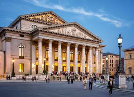
Working in the heart of Munich: The co‑working spaces of the Platzl Hotels
Munich has been a hotspot for creatives, start-ups, and business travelers for years. But while the city is bursting with energy…
Munich has been a hotspot for creatives, start-ups, and business travelers for years. But while the city is bursting with energy and ideas, it often lacks places that truly combine work, interaction, and a feel-good atmosphere.
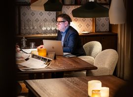
The Platzl Hotels are now showing how modern co‑working can merge with genuine Munich hospitality –…